[caption id="attachment_1003731967" align="aligncenter" width="360"]
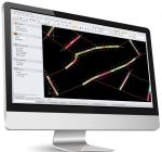 Deswik’s new GeoTools software will boost productivity for geologists.
[/caption]
BRISBANE –
Deswik, the leading Australian mining software developer, has launched a new set of tools for geological mapping and sampling.
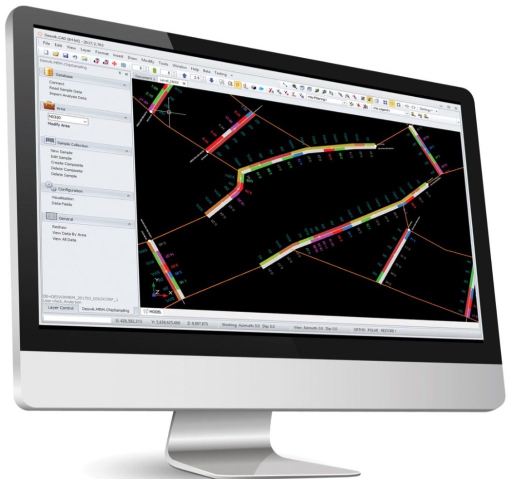
Deswik.Mapping is a Windows tablet application which digitizes the traditional, paper-based geological mine mapping process. It enables geologists to photograph the face, create 3D maps and log sample data
in situ on a mobile device, while offline and underground.
Deswik.GeoTools product manager Nick Anderson said the application improves the consistency of geological mapping by enabling geologists to use standardized methods, styles and formats when recording their observations, ensuring that all data is captured to an agreed standard.
The software boosts efficiency by eliminating the double handling of data that takes place when geologists transfer paper-based drawings and notes to a software program back at the surface.
Deswik.Mapping incorporates a template which can be configured to ensure users follow a consistent mapping style and employ standardized nomenclature to record their observations.
Custom symbols, colours, sizes and names can be used and parameters set to ensure all required data is recorded for every aspect of the section of an area being mapped.
Users can establish their location in 3D space, using survey markers and tunnel design, before they begin the mapping process. Photographic images can be overlaid with geological mapping, to create a rich representation of the geology being mapped.
When samples are taken, their locations and ID numbers can be logged immediately, again reducing double handling data entry and providing instant visual validation of the correct positioning in 3D space.
Geological maps created using Deswik.Mapping can be imported into Deswik.CAD, integrated with other Deswik modules or exported to standard CAD formats.
For those wanting to manage their sampling activities directly within their existing 3D environment, Deswik has developed the Deswik.Sampling tool. Geologists can create and visualize chip and channel sample locations directly in their 3D mine model, log geological attributes, and retrieve analysis data from external data sources.
“By bringing their assay results into the same 3D integrated environment as other geological and mining data, our users are in a position to make more informed decisions,” Anderson said.
Deswik has offices in Vancouver, Calgary, and Sudbury. For further information, please visit:
www.Deswik.com/software/.


Comments