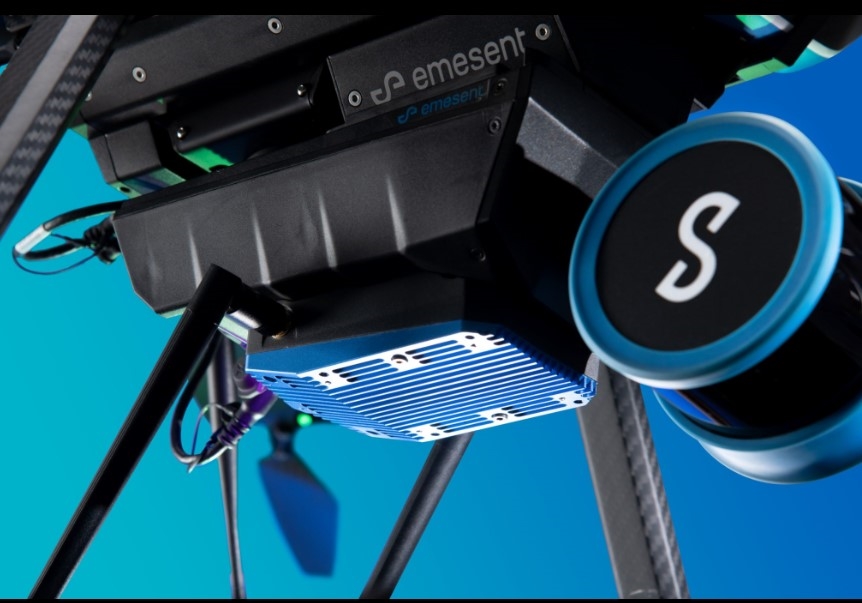
Now the range of Emesent’s Hovermap mapping drone can be extended up to 1.0 km further with the addition a new long range radio accessory. Using the radio, the operator has access to a live stream Hovermap point clous data.
This further allows the user to monitor the progress of the flight and interact with the flight autonomy from a distance, if necessary.
Emesent’s long range radio accessory easily attaches to a compatible Hovermap to increase the connectivity range up to 20 times for a reach of up to 1.0 km with above ground, line of sight flight, subject to environmental and/or geometry and regional configuration. This allows the user to reap the full benefits of Hovermap’s autonomy and mapping capabilities and extend the range of its applications.
Capture accurate point clouds of industrial buildings, campuses, forests, or terrain with safe, GPS-denied flight while still receiving real-time data and setting smart waypoints for guided exploration, all from a distance. Capture more with a single flight from one location, avoiding unnecessary repacking, setup, and moving time.
Long range radio and the compatible Hovermaps have tough, lightweight, weather sealed designs allowing the capture of valuable data in previously inaccessible areas, whether that’s above ground, underground, indoors, or out.
Emesent has created a short video to for more information, or go to www.Emesent.com.
Comments