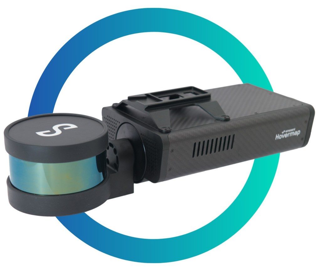
[caption id="attachment_1003740527" align="aligncenter" width="500"]
 Hovermap scanner Credit: Emesent
[/caption]
AUSTRALIA –
Emesent, a global technology company, and
Deswik, a software developer, have signed a memorandum of understanding to integrate their respective solutions to provide a more comprehensive mine data capture and analysis offering.
The two companies would work together to allow mining companies to incorporate high-quality data captured in inaccessible locations into their mine plans and surveys.
Emesent’s award-winning Hovermap is a drone autonomy and LiDAR mapping mobile scanning unit. It uses LiDAR data and advanced algorithms on-board in real time to provide reliable and accurate localization and navigation without GPS. According to Emesent, the unit is ideal for mapping hazardous or underground environments, where traditional data capture methods are difficult and dangerous.
As the first step in the partnership, a co-designed and semi-automated workflow can import Hovermap data into Deswik’s design and solids modelling platform, Deswik.CAD. This workflow allows users to translate the Hovermap data within minutes, creating usable surfaces, solids and point clouds for as-built surveys, volume reporting and design updates.
“The data from Emesent’s Hovermap scanner can be imported into Deswik and visualized using any of the attributes that have been captured in the scan,” Stephen Rowles, Deswik survey product manager, said in a release. “The scan can be filtered, modified, and clipped to suit the user’s requirements before being processed in one or more of the dedicated functions for point clouds.”
Stefan Hrabar, Emesent’s CEO, added that the two companies are committed to working together to help mining companies increase the value of their models, by providing surveyors and planners with more accurate data from inaccessible areas.
Emesent is a leader in drone autonomy, LiDAR mapping, and data analytics and has built a reputation for delivering high-quality data capture in the mining, infrastructure, survey and mapping industries.
Deswik is a consulting and technology company and delivers efficiency-focused solutions to all sectors within the mining industry. Its mine planning and management platforms are used at over 500 operations worldwide.
For more information, visit
www.Emesent.io or
www.Deswik.com.
Comments