Geothermal site holds potential for future generations
The Canoe Reach Geothermal Project, located in southeast B.C., about 35 km south of the Town of Valemount, is a notional +/- 10 MWe standard hydrothermal project currently in the exploration and assessment phase.
The development of this project would represent the first commercial geothermal power production in British Columbia, and the first GHG-Free (Green House Gas), renewable baseload power generation alternative to large-scale hydro.
As commonly understood, geothermal energy is extracted from naturally occurring heat within the Earth and is a clean and renewable source of both power and heat. It’s a proven technology that provides base-load power, meaning that the supply is constant, stable and invariable 24 hours a day, 365 days a year, contrary to other types of popular renewable energy options.
In general, the production of energy from geothermal sources works as follows: Non-potable water present in underground reservoirs, known as formation water, is naturally heated to high temperatures by the Earth’s abundant heat resources. Production wells are drilled into the subsurface, where the heat resource exists, to bring the hot formation water and steam to surface. The formation water is moved to surface via natural pressure as well as pump systems. At the surface, the formation water travels through the wellhead and into the power facility, which typically utilizes binary turbine technology. Here, the hot formation fluids are used to heat a secondary, or binary fluid via a simple heat exchange system. The binary fluid has a lower boiling temperature than water and is capable of flashing to vapour at temperatures lower than 100°C.
In the vapour state, the binary fluid spins the turbine blade (much like steam rising from a kettle would turn a pinwheel that is held over it), and this turns the shaft to an electrical generator, thus generating electricity that is delivered to houses and businesses via the transmission grid system. The used binary fluid is then condensed back to a liquid state and used again in the same manner, being recycled within the system. The used, cooled formation water is re-injected back into the subsurface reservoir to be reheated.
This entire process is renewable as the Earth has a nearly infinite heat source in the mantle and core, and the upper crust constantly naturally produces heat. With proper resource management, geothermal projects offer a viable and stable energy resource for the future.
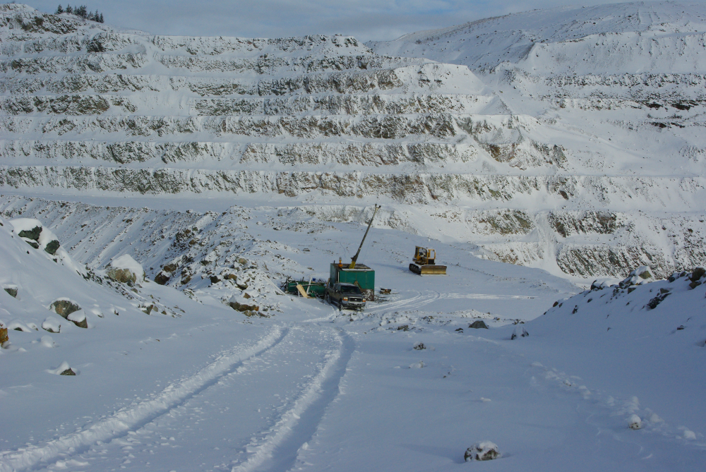
Borealis GeoPower of Calgary holds three contiguous permit areas at Canoe Reach, encompassing a total area of 12,848 hectares. The company obtained the geothermal exploration permits from the Ministry of Energy on October 17, 2010, which were renewed again in 2011 and 2012. The geothermal permits straddle the northern arm of Kinbasket Lake, which lies within the Rocky Mountain Trench, between the Rocky Mountains and the Columbia Mountains. The region is one of rugged topography, with mountain peaks rising steeply from the lake (at 730m a.s.l.) to elevations of as much as (2,600m a.s.l.) The permits are also strategically located at the end of the power line, which needs upgrading.
Borealis has been collecting data and performing work towards constraining the resource potential of the Canoe Reach area since 2010. Geophysics, biogeochemistry and soil geochemistry surveys have been performed throughout the permit areas. The collected data has been used to map and be subsequently correlated with various other collected data sets to assist in establishing the feasibility of the project. Work in the area is continuing with additional field work planned for spring/summer 2013.
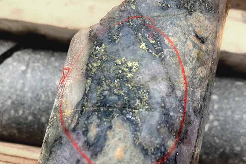
Magnetotelluric geophysical surveys have been performed in the area. These surveys are useful for mapping geological contacts and contrasts in resistivity as well as deep conductors that could potentially represent alteration or mineralization. The data is used to identify and define regions of anomalously low subsurface electrical resistivity that could be indicative of hydrothermal activity, such as a geothermal reservoir.
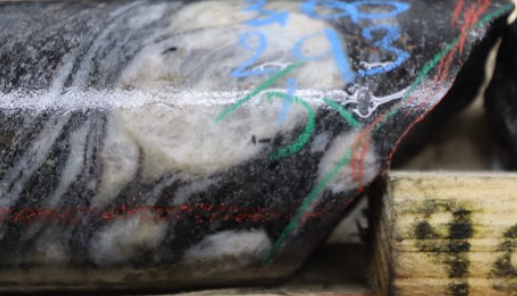
Field work conducted in the summers of 2011 and 2012 consisted of coincident biogeochemistry and soil geochemistry sampling. After being processed, the resulting data from the samples were used to map the distribution of individual key elements. The distribution of the elements provides potential surface indicators for geothermal resources and structural features in the subsurface that are conducive to heat flow and circulation of heated hydrothermal fluids. The biogeochemistry and soil samples were taken simultaneously from the same locations in order to be able to crosscheck the results and confirm anomalous zones with results consistent between the two methods. Borealis is currently working with McGill University on this cutting-edge research.
Hot springs also exist within the permit boundaries but are commonly submerged as Kinbasket Lake is subject to seasonal flooding as it is the catch basin for downstream hydroelectric dams. There are streams feeding into the lake that have reported elevated water temperatures; these were located, examined and tested by Borealis during field work.
Outside of geological considerations, the company has also received support from both the Town of Valemount and surrounding First Nations. In both cases, MOU’s have been signed regarding their participation in the project.
Of note, the company is also the first geothermal energy company to be supported with SDTC (Sustainable Development Technology Canada) funding, announced February 2013. The funding will go towards implementing an exploration strategy for a project in British Columbia and is expected to benefit geothermal exploration as a whole.
Borealis GeoPower Inc. is a private Canadian corporation focused on developing high temperature geothermal energy projects. They are currently working on geothermal projects in Alberta, British Columbia, Saskatchewan and the Yukon Territory.
*Craig Dunn is Chief Geologist, Borealis GeoPower, Calgary.
Related Posts
Thesis grows M+I gold equivalent to 4 million oz. at Lawyers-Ranch in BC
Western Copper and Gold closes $46M offering to advance Casino copper-gold project
Red Pine Exploration plunges as it retracts all assays for Wawa gold project
Initial assays from the EVM project give EV Minerals high nickel-copper-cobalt grades
Comments