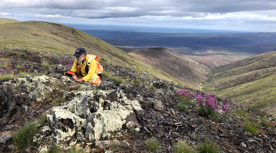
The US Geological Survey (USGS) and NASA are teaming up to map portions of California, Colorado, Nevada, Arizona, New Mexico and Utah for critical mineral potential.
The $16-million, 5-year, government-funded project will employ NASA’s Airborne Visible/Infrared Imaging Spectrometer high-altitude earth remote sensing platform and MODIS/ASTER Airborne Simulator to collect hyperspectral data over large regions in the arid and semi-arid western United States.
Hyperspectral data are reflections of light from surfaces, measured across hundreds of frequency bands. These measurements capture not only light visible to our eyes, but also bands of light beyond the visible, into the infrared.
According to the USGS and NASA, the data collected can be very useful in studying surface rock formations because each mineral in rocks has its own unique reflection characteristics across the various bands of light. Thus, looking for these patterns or ‘spectral signatures’ can help identify locations with high potential for mineral resources.
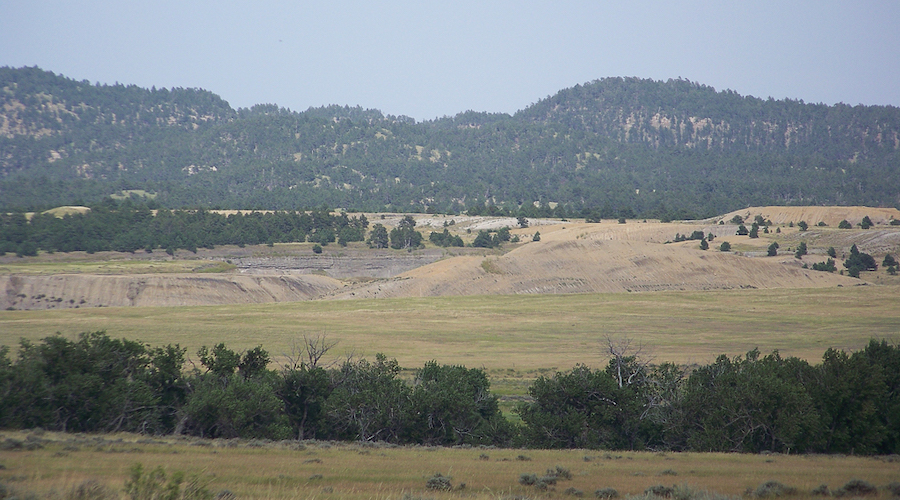
The research will also include evaluating critical mineral potential in mine waste.
“Mine waste is receiving increasing attention for its potential to contain critical mineral resources, particularly those that are most often produced as byproducts, while also offering an opportunity for remediation of contaminated sites,” the agencies said in a media statement. “For instance, the USGS recently analyzed mine tailings from historical iron production in the Adirondacks of New York for rare earth element potential.”
The Geological Survey has also used hyperspectral data in the past to analyze mineral potential in Alaska but it has also found these data useful for understanding a variety of other earth science and biological issues including geologic acid mine drainage, debris flows, agriculture, wildfires and biodiversity.
“This exciting scientific effort is made possible through President Biden’s Bipartisan Infrastructure Law’s investments and will enable NASA and the USGS to leverage our unique capabilities toward a common goal,” USGS Director David Applegate said in the press brief. “The data we’re collecting will be foundational for not only critical minerals research but also for a wide range of other scientific applications, from natural hazards mitigation to ecosystem restoration.”
The $16 million allocated to this project are part of a larger, $510.7-million investment provided by the Bipartisan Infrastructure Law for the USGS to support integrated mapping and interpretation of mineral resources data, the preservation of data from geochemical samples from Earth MRI, and the construction of a USGS energy and minerals research center in Golden, Colorado.

Comments