Related Posts
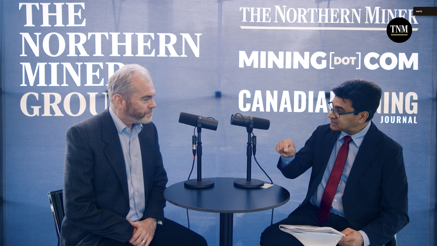
Sponsored: Equity Metals rides silver surge in BC
July 2, 2026
Sponsored: Equity Metals rides silver surge in BC
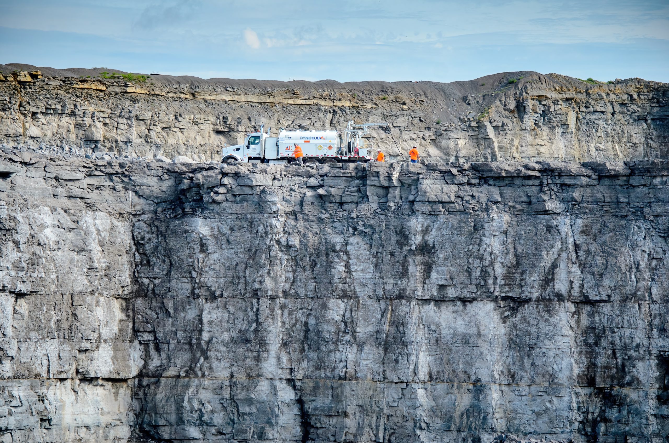
Dyno Nobel targets safer, cleaner surface mining
July 2, 2026
Dyno Nobel targets safer, cleaner surface mining
PFS shows strong returns for $553M Quebec graphite project
Barnat pit temporarily shut after rock shift
July 2, 2026
Comments