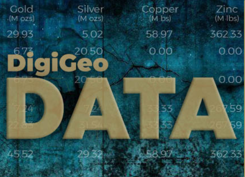
DigiGeoData Inc., the developer of the online interactive Atlas mapping tool and publisher of the industry standard Exploration Activity Maps, announces the launch of the long anticipated DigiGeoData Global Database. This paid subscription addition is a perfect complement to the Atlas subscription product offering unprecedented searchability and spatial data display. This new mineral resource intelligence product allows clients to execute full in depth, multi-level searches to view or export.
DigiGeoData, a wholly owned subsidiary of EarthLabs (TSXV: SPOT; OTCQX: SPOFF), is the data engine that powers EarthLabs' suite of products: CEO.CA, The Northern Miner, MINING.COM, Canadian Mining Journal, including The Northern Miner Maps. The Northern Miner Maps recently combined with DigiGeoMaps to bring a more robust offering to its sponsors.
Our Research Team is Your Research Team.In today's rapid-fire mineral exploration sector, the deluge of daily data can overwhelm even the most resource-rich companies. DigiGeoData offers a solution: a subscription that effectively turns our team of top-tier geological analysts and GIS specialists into your personal research powerhouse. This means you get the benefits of a dedicated, daily updated information stream, tailored to your needs, without the cost and complexity of running your own research team.
"Today marks a milestone for DigiGeoData as we unveil our global database, a game-changer in the world of mineral resource intelligence," said Glen Jones, managing director. "The global database redefines how our clients explore and interact with data, offering them unparalleled depth, accuracy, and usability. Our team has worked tirelessly to ensure that this database stands as a testament to our commitment to innovation, excellence, and, most importantly, our clients' success."
What's Included
- Intuitive search with multi-layered, in-depth filtering by Companies and Properties, plus unique features unmatched by competitors.
- Coverage of all company types, from private to publicly listed on global stock exchanges.
- 13,000+ global assets and properties, from grassroots to production.
- Information tagged by DigiGeoData's exclusive exploration areas like Athabasca Basin, James Bay, and Red Lake for targeted searches.
- Direct links to property pages on company websites for easy due diligence.
- Coverage of all commodities: major metals, minor metals, precious metals, energy, rare earths, and industrial minerals.
- Historical mines and deposits, including non-compliant historical resources.
- Resources compiled by deposit, aggregated at the property level.
- Mineralization styles assigned to each asset, from 125 unique styles by DigiGeoData.
- 800,000+ Canadian claims and BLM claim data for the Western US, searchable by number, owner, and type, with global data sourced and updated.
- Property outlines created by aggregating claims, refreshed weekly.
Expanding Frontiers
This initial launch sets the stage for a series of planned enhancements, introducing new modules such as:
- The DigiGeoData Drill Hole Database, featuring over 253,000 drill holes and more than 1.16 million assayed intersections, all spatially mapped to existing properties.
- The Government Drill Hole Database, encompassing over 430,000 drill holes, with collar locations that trace back to the early 1900s.
- Mineral Endowment, detailing historical and current production alongside compliant mineral resources.
- Mine Production, offering insights into mineral production and cost comparisons.
- Development Studies, covering Preliminary Economic Assessments, Pre-feasibility Studies, and Feasibility Studies.
- Royalties, providing comprehensive data on mineral rights and payments.
- Market Data, delivering up-to-date information on all publicly listed companies.
- Financial Information, updated quarterly, to keep stakeholders informed.
- Global Mineral Belts, mapping the world's significant mineral zones.
Your Go-to Mineral Intelligence Research Tool
The intuitive design coupled with the Atlas spatial mapping interface is a must have for:
- Monitoring competitor activity in any area.
- Property acquisition and divesting.
- Investment opportunities.
- Tracking daily changes on a global level.
Discover the future of mineral resource intelligence at www.DigiGeoData.com. Contact us today for a demo or to learn more about how our Global Database can transform your research capabilities.

Comments