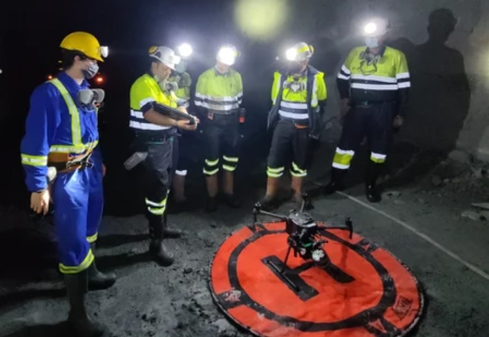
Exyn Technologies is known for pioneering AI autonomous aerial robot systems for complex, GPS-denied environments. Geologists at Ascot Resources have used the Exyn Aero fully autonomous drone to map a former underground mine that was in production from 1938 to 1941. The result was an accurate map delivered quickly and safely.
In the past, human surveying teams have been sent into old mines such as the Big Missouri deposit that Ascot used Exyn technology to survey. Not only is this human powered methodology inefficient its also unsafe and tends to result in slow data and mistakes in mapping of capabilities.
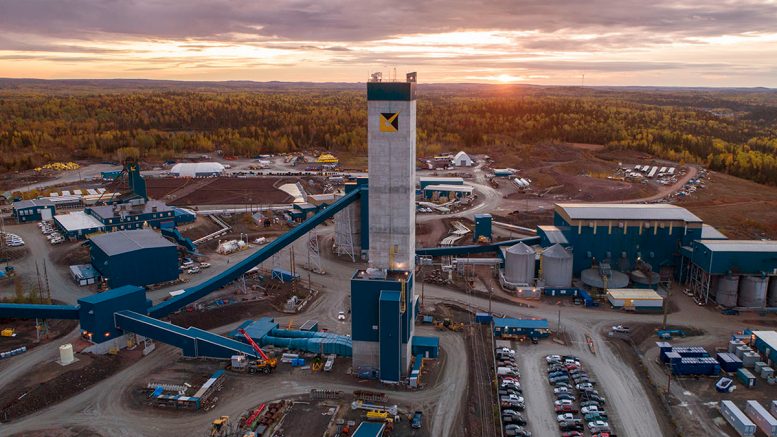
The Big Missouri deposit is part of the former Premier gold mine that Ascot is seeking to reopen. The first gold pour is scheduled for early 2024. The mine site is 25 km from the town of Stewart, B.C.
The Exyn Aero fully autonomous drone can map a mine such as this in a matter of minutes thanks to LiDAR based mapping technology. This data can allow companies like Ascot to quickly create reports of existing mine openings that were previously impossible.
Request a demonstration of any Exyn technology at www.Exyn.com.

Comments