Seequent unveils enhanced mining software to boost exploration efficiency
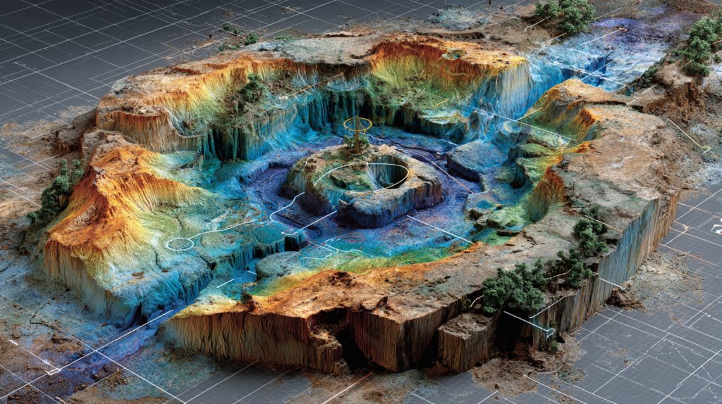
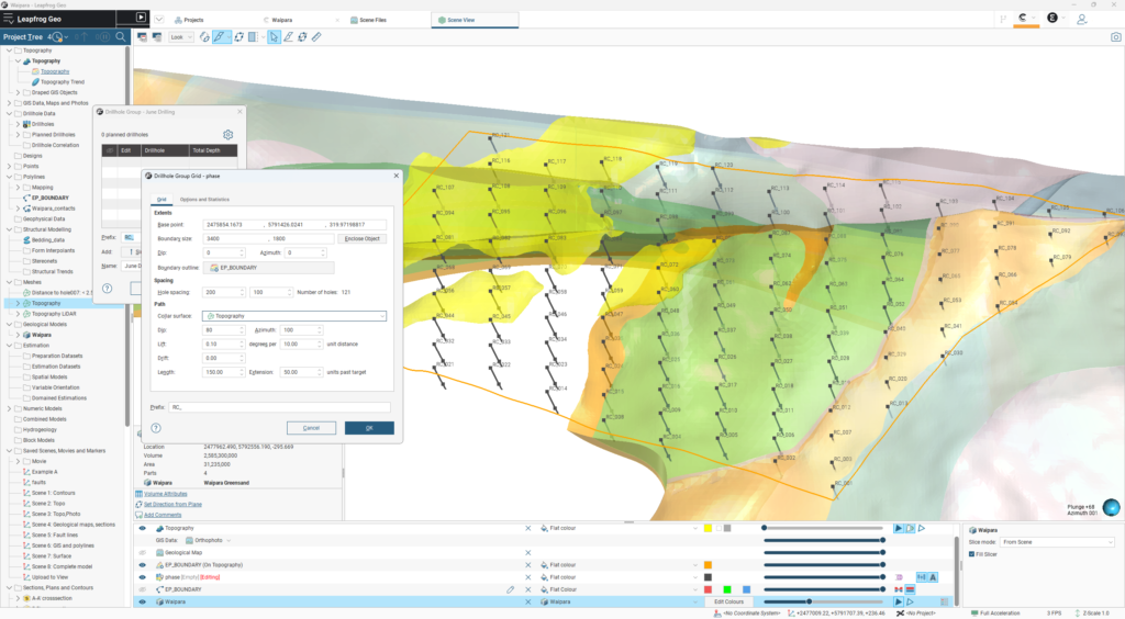
Seequent, which operates as The Bentley Subsurface Company, launched a comprehensive update to its Leapfrog mining software this week, targeting improved productivity […]
Seequent, which operates as The Bentley Subsurface Company, launched a comprehensive update to its Leapfrog mining software this week, targeting improved productivity […]
The shifting terrain of modern mining The modern mine site is an ecosystem of high stakes and high complexity. As pits grow […]


SRK Consulting is preparing to launch tablet versions of its HiveMap geological mapping software in the coming months, Findlay Fraser, principal consultant […]
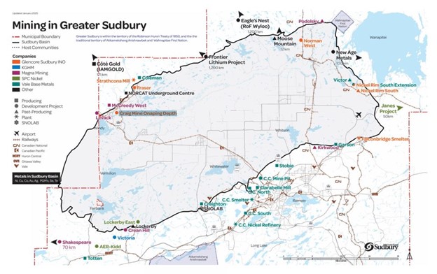
In many mining jurisdictions across Canada, exploration companies can go online to a government-maintained web portal and designate on a map the […]
This week’s episode features Sam Poole, Chief Revenue Officer of Immersal, a global leader in spatial mapping and visual positioning systems. Poole delves […]

Hypervine, the Scottish cleantech innovator leveraging satellite imagery and data analytics, is set to announce the launch of its unlimited satellite survey […]